RandoNav FR
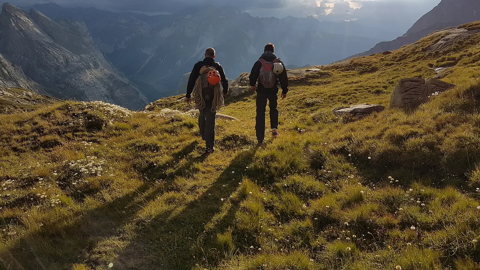
Two hikers walking down an alpine meadow into low evening sun, a deep valley and ridgelines behind them

Some walks you plan for years.
We built something for that trip.

Not for hiking in general — for your trail. Where you can actually get a bed, what has to be booked and how far ahead, which detour is worth the extra climb.

Free · no account · works offline · English & French

GR20 — Corsica

Corsica

GR20

The one people call the hardest in Europe

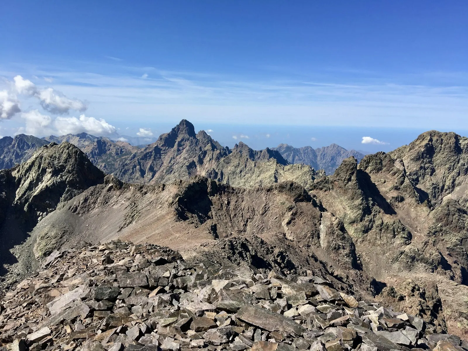
Granite, ridgelines and fifteen days of it. You sleep in park refuges you have to book, and the trail never really lets up — which is exactly why people come back.

  • 177 km
  • 11,340 m of climb
  • 26 places to sleep
  • Beds you can actually get We watch the park’s booking system and show you what is free, night by night — and tell you the moment a full refuge opens up.
  • It knows the rock Day estimates account for how technical the ground is, not just distance. On the GR20 that is the difference between six hours and nine.
  • No signal, no problem Maps, profile, GPS and your plan all work with the phone in flight mode.
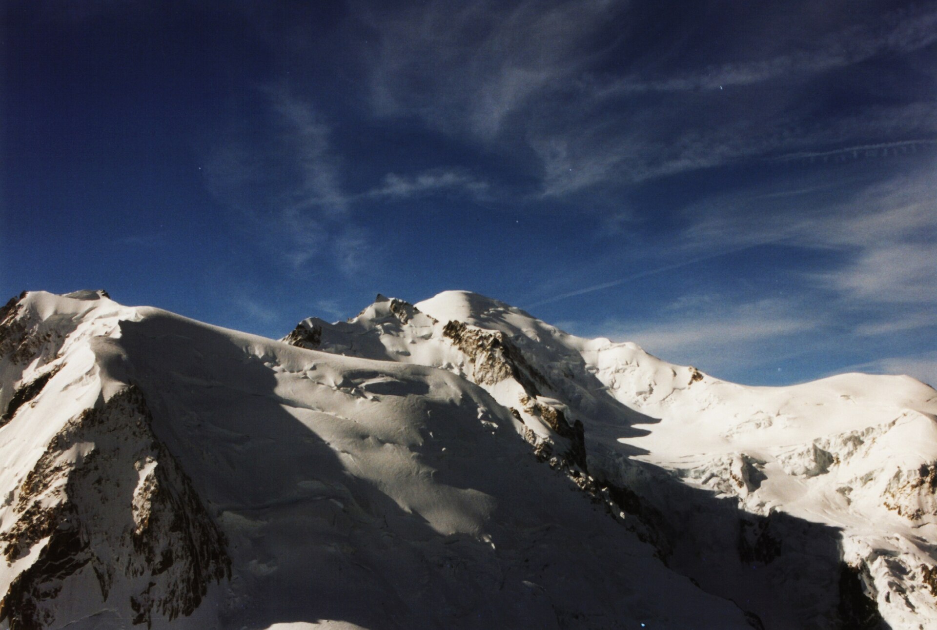
Tour du Mont Blanc — France · Italy · Switzerland

France · Italy · Switzerland

Tour du Mont Blanc

Eleven cols, three countries, one mountain

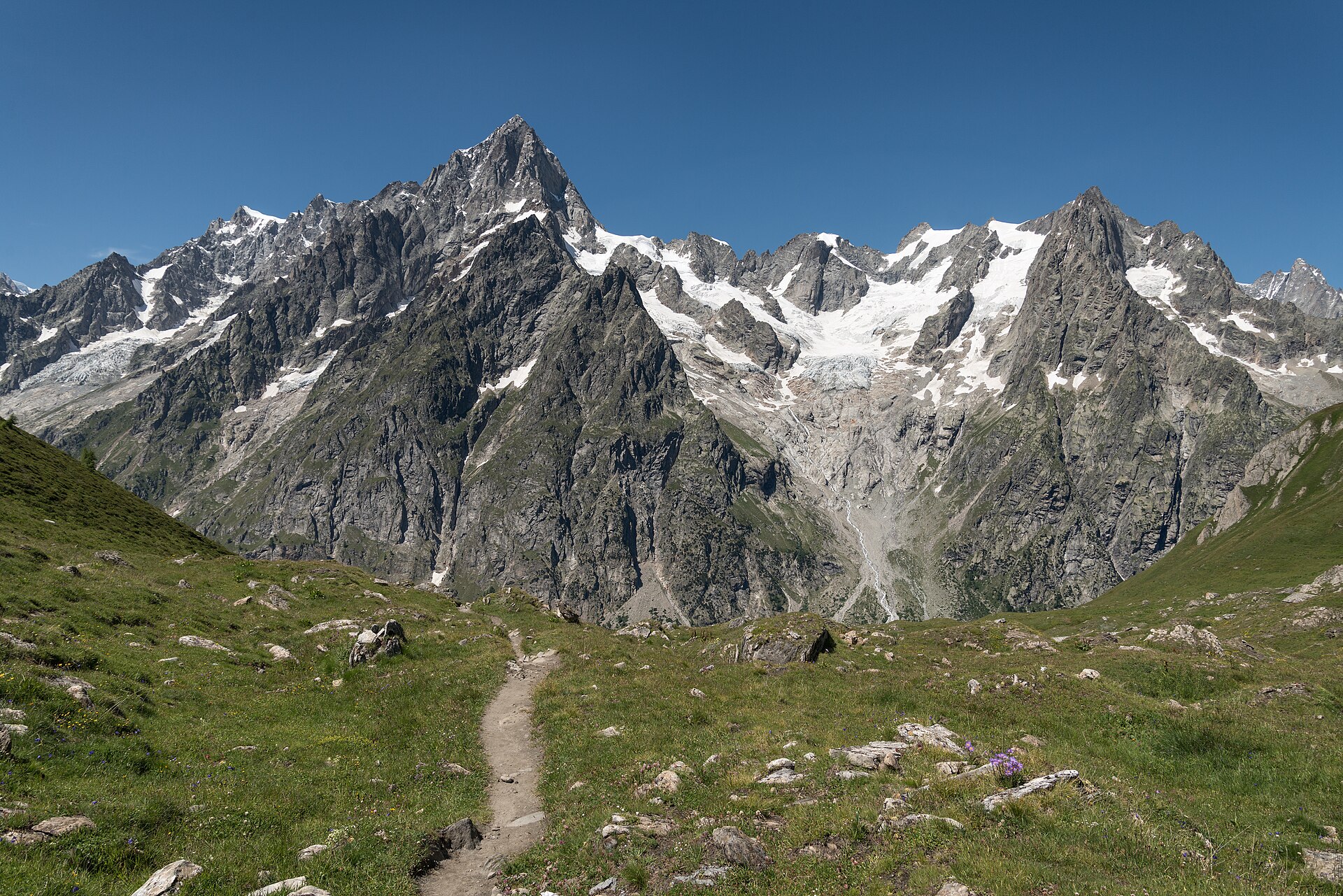
You walk a full circle around Mont Blanc and it is never out of sight for long. Cowbells, glaciers, and a different language at dinner every few days.

  • 166 km
  • 10,400 m of climb
  • 3 countries
  • Getting a bed is the hard part Not the walking. We check every hut on the booking portal each hour and push you a notification the moment a night on your route frees up.
  • Honest about what it can’t see Six of the famous huts — Bonatti, Elisabetta, Elena and the rest — take their own bookings. We say so and link straight through.
  • Made for three countries Works entirely offline, which matters on the two days your phone is roaming outside the EU.

What every planner gives you

Days that end somewhere real

Tell it your pace and how long you have. It splits the trail at actual huts — never at a round number of kilometres.

A bed, or a warning

Live availability per night, and an alert the moment a full one opens up.

Everything offline

Map, profile, GPS and your plan, all with the radio off.

A briefing each morning

The day’s climb, terrain, weather, and where the water is.

Paper and pixels

A PDF for your pocket, GPX for your watch, a link with a QR code for whoever is coming with you.

Nothing to sign up for

No account. Your plan stays on your phone.

Why a planner per trail?

You get one shot at this trip. It has its own rules — which places have to be booked and how far ahead, which detour earns the extra climb, where the last real shop is, when the high passes clear. None of that carries from one trail to the next, so we don’t pretend it does. Each planner learns a single route properly and keeps it current. Same engine underneath, a different mountain range in front.